30 October 2017
Equal best ever scenery
Hiking Mount Atago then continuing to Arashiyama via Toriimoto
I am going to cut to the chase.
Today was probably the equal best scenery I have experienced in my life, a tie with Yamadera / Omoshiroyama which is near Sendai.
Even though I was too early for peak leaf season, I took a record number of photos.
My path was from Takao (not the Tokyo Takao) to Jingo-Ji Shrine, down the nature trail along the river to Kiyotaki, up and down Mount Atago (highest in Kyoto ward) on a loop course, then further down the nature trail before going over another mountain with amazing views, before descending into Arashiyama through the old streets of Toriimoto.
Total distance, almost 40km. And if you told me I had to do exactly the same thing tomorrow, that would be fine.
Now onto too many photos.
Well almost, its halloween, which is a big deal in Japan, not sure what that means for where I go later.
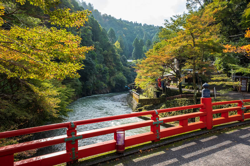
There are 41 photos to get through, so done expect witty banter, just matter of fact descriptions, in other words, get your scrolling wheel / swiping finger ready.
This is at the bottom of a valley after getting off the bus at Takao before ascending to Jingo-Ji temple.
I took a direct bus from Kyoto station which took just under an hour.
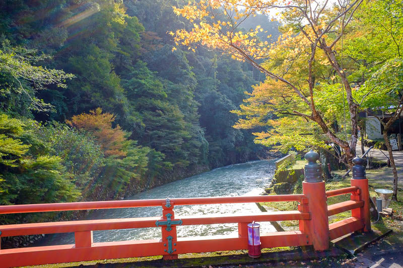
There were many red bridges today, at least 4.
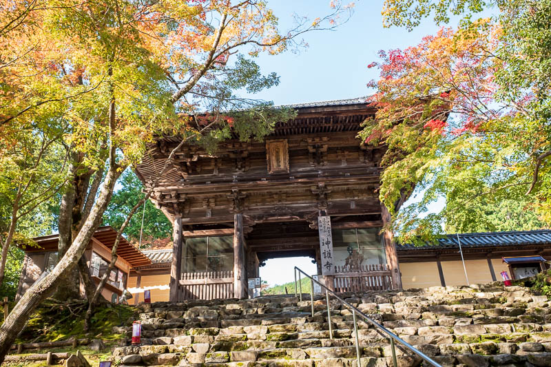
Ascending the steps to Jingo-Ji shremple (shrine and or temple). It had a small admission fee, I paid cause I heard theres a sporting event to participate in.
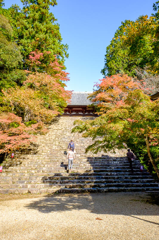
Its not peak color, but already quite colorful. Lots of old people are here. Old German people filled the bus, they seem to have a thing where they get stamps for each shrine they visit.
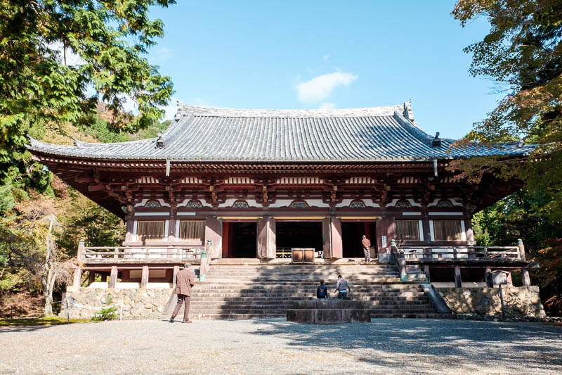
Quite average looking, but I guess its old.
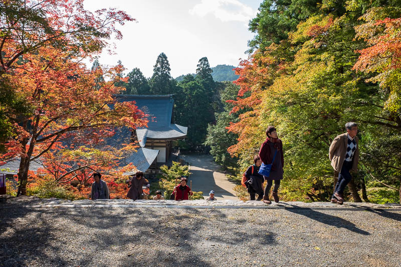
Nice colors, I will say that a lot today.
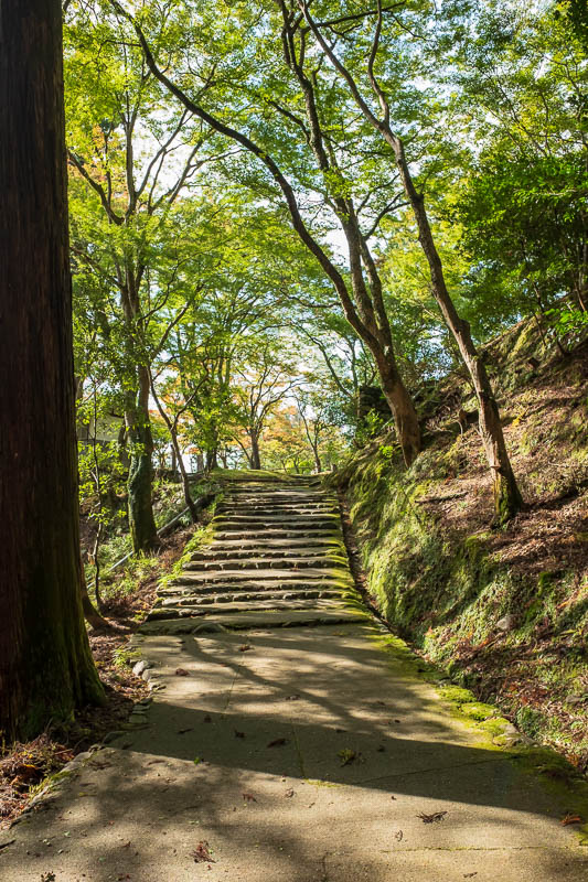
I nearly missed the best bit. I decline the map at the admission booth, but when I went back out I asked where the thing I was here for is, and took a map.
Should have taken a map in the first place. The walk up to it was splendid. Yes, SPLENDID.
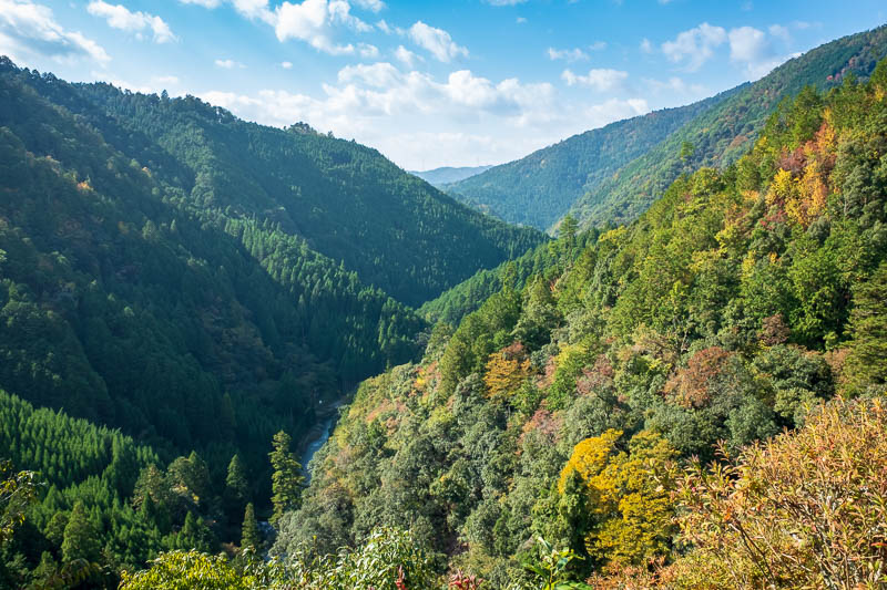
Here is the view. I was ready to jump cause this probably cant be improved on, its all downhill from here.
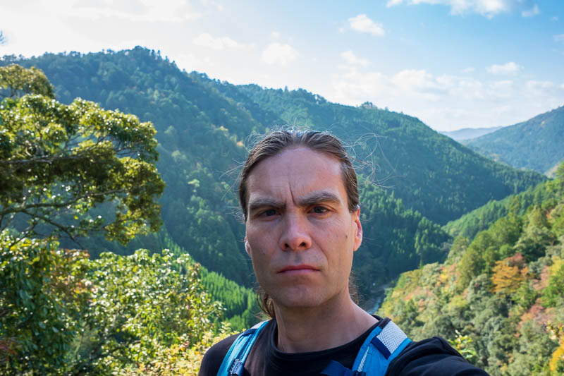
Me pondering existence.
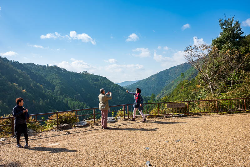
This is the sporting event I mentioned. You buy these clay discs and fling them off for luck, if you get too enthusiastic you might accidentally fling yourself off too.
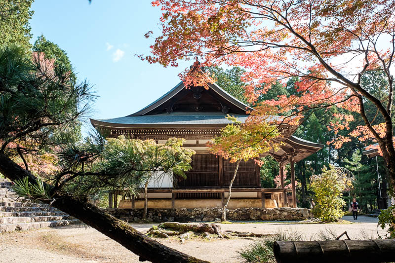
I gave this one more of a matte look, for variety in amazing colors.
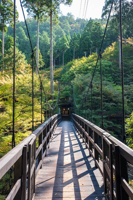
Once back at the bottom, I had to joing the nature trail along the river, this is not the way! I went over thinking it was.
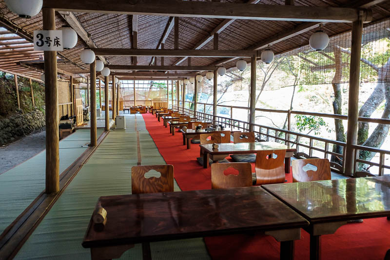
Instead of the trail, its a big open air restaurant. There is without exaggeration about 100 metres of seating like this along the cliff.
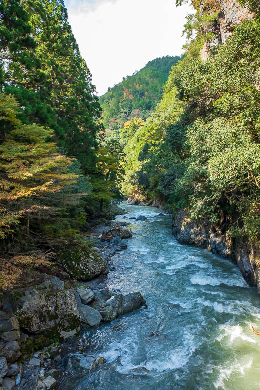
Now I am walking along the magnificent river, yes MAGNIFICENT.
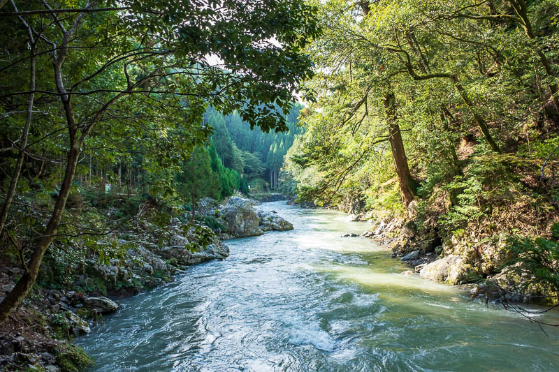
There are lots of places where you cross over on little bridges, allowing for great photos.
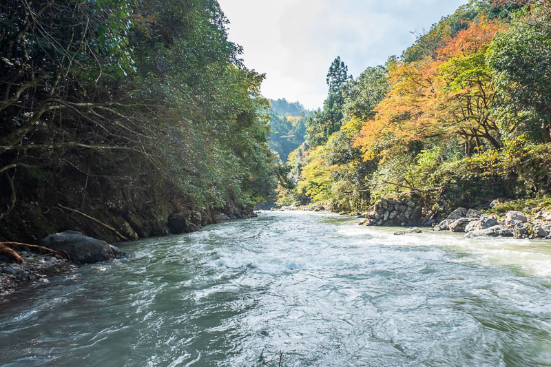
The light was really tricky, but I think some of the photos are OK. I took a lot, many appear similar and were removed.
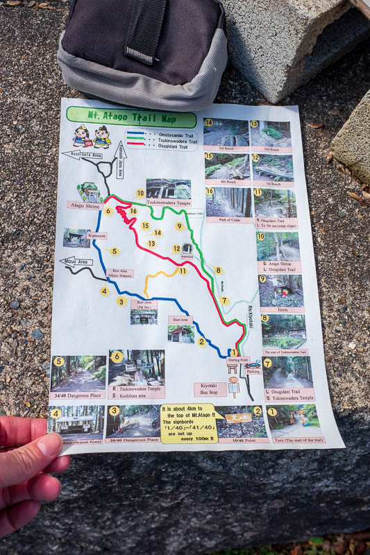
Now I am at the start of Mount Atago. They give you a map! How convenient. This hike to the highest mountain in the Kyoto area is popular, and impossible to get lost, they have a sign marker every hundred metres.
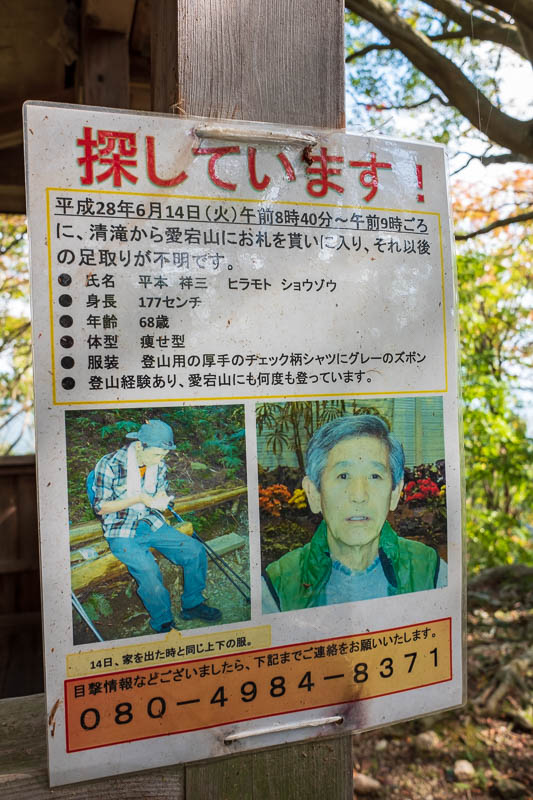
Which means this guy 'went to the forest'. Missing since 2014, hes a skeleton now.
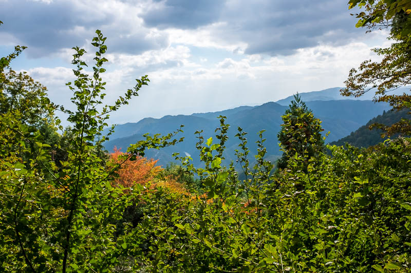
There was actually not much of a view, and none from the top, so I am glad I took this on the way up.
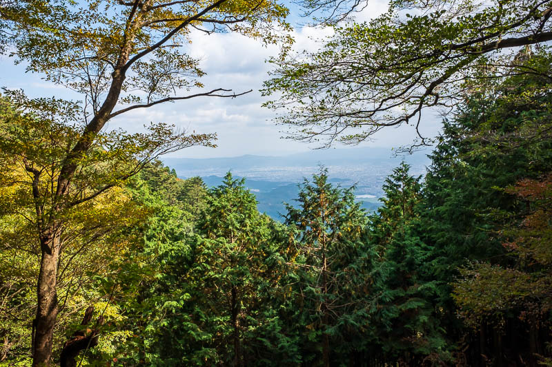
A bit more view, hard to see Kyoto all the way down there.
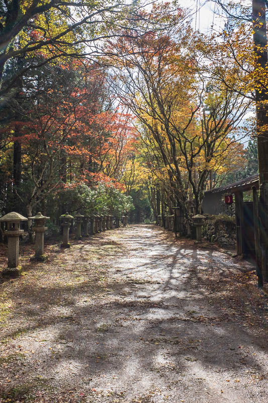
The top was a huge shrine complex. They have electricity somehow, and toilets, but there is no road up. So this was all constructed at the top somehow, long ago.
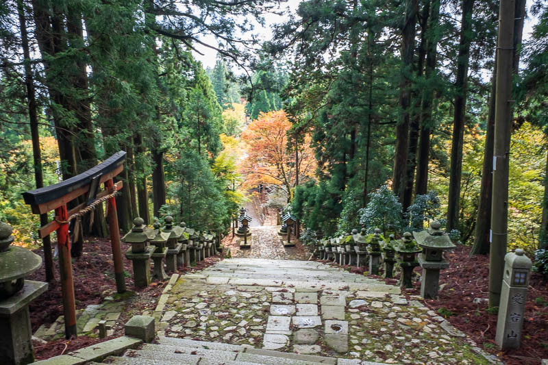
When you think you are at the top you actually have to keep going. The markers on the trail are to the toll gate. Thankfully there is no toll anymore. I couldnt believe how much work has gone into the shrine village at the top.
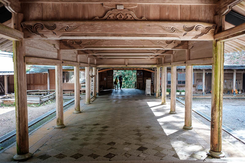
The shrine itself is all wooden, and apparently houses a stone tablet of some kind, which is all sealed away not to be opened for years.
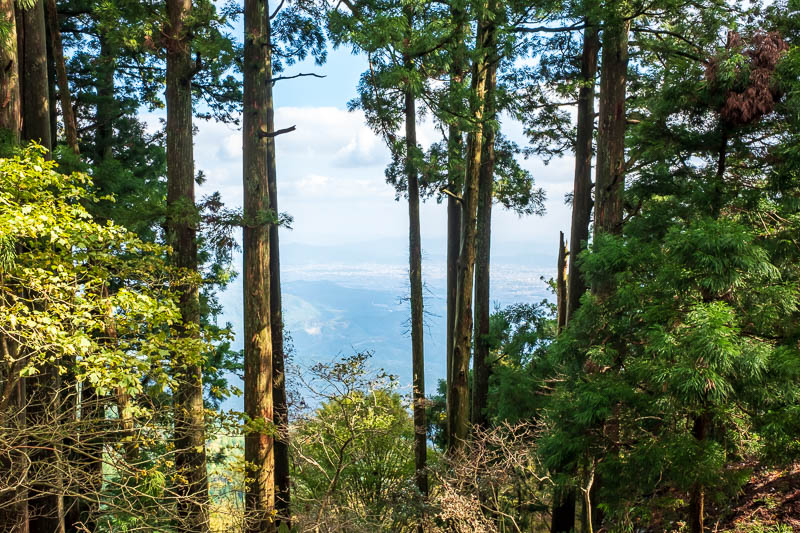
This is the best I could do for a view from the top, actually a few hundred metres down from the top.
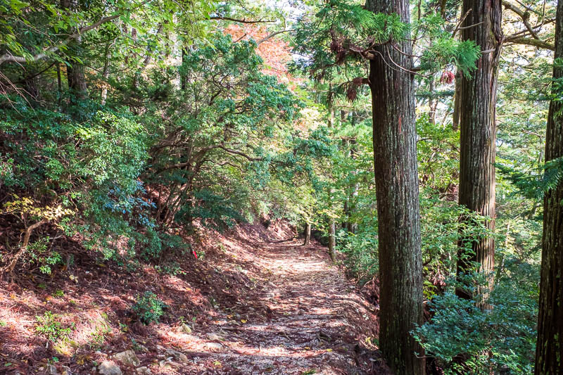
Just a random shot of the mountain path. The lower bits were all wooden/stone stairs cut into the mountain and steep. The upper bits were a wide rolling trail, I could jog down.
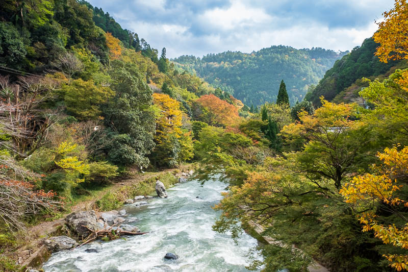
Now I am back at the river. I turned the color DOWN on this shot!
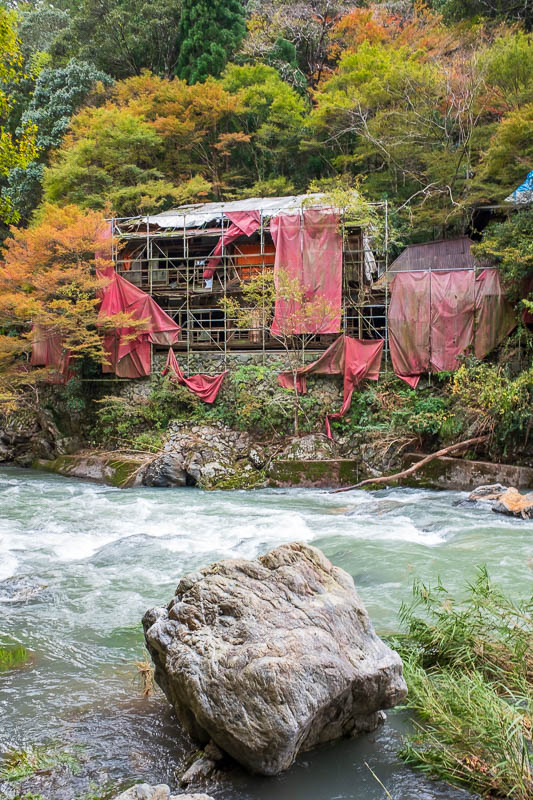
Most of the restaurants along the river seemed to still be in use, but not this one.
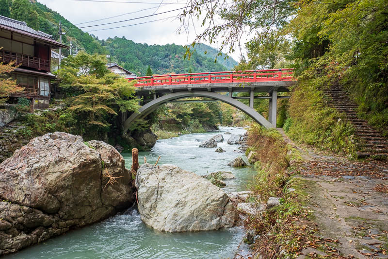
Another red bridge! There were so many I didnt even photograph them all.
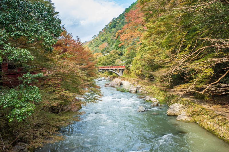
Although I did photograph this one twice, I almost managed to hide the sheds behind it.
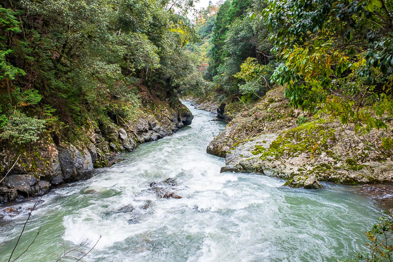
At times the path along the river was slippery rock, but most of the time it was a very well developed path, with excellent signage, and only 10 people in total.
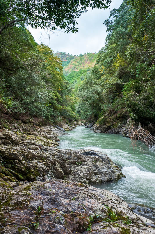
More river, I am running out of adjectives.
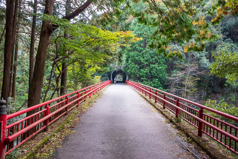
Red bridge plus tunnel, what a combo!
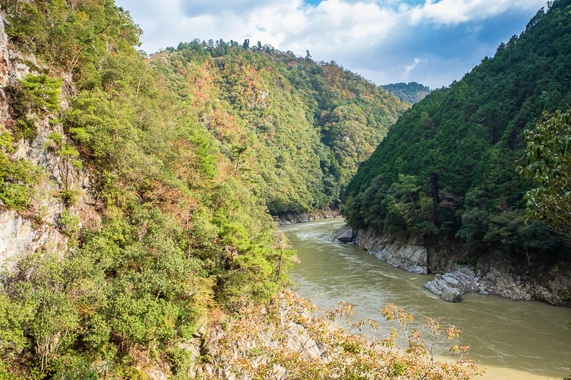
And now surprisingly, to get back to Arashiyama I had to leave the river. You can continue along the river to another station, and its actually shorter distance, but for whatever reason I was determined to get to Arashiyama.
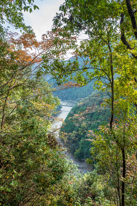
That is a railway bridge. This trail over the top of a smaller mountain was bitumen, but only used by cyclists.
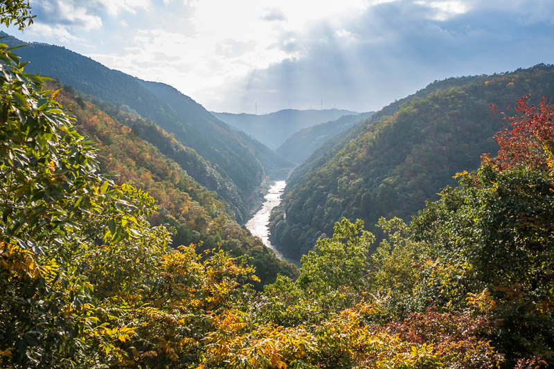
Some really tricky light, but thats the river I was walking along.
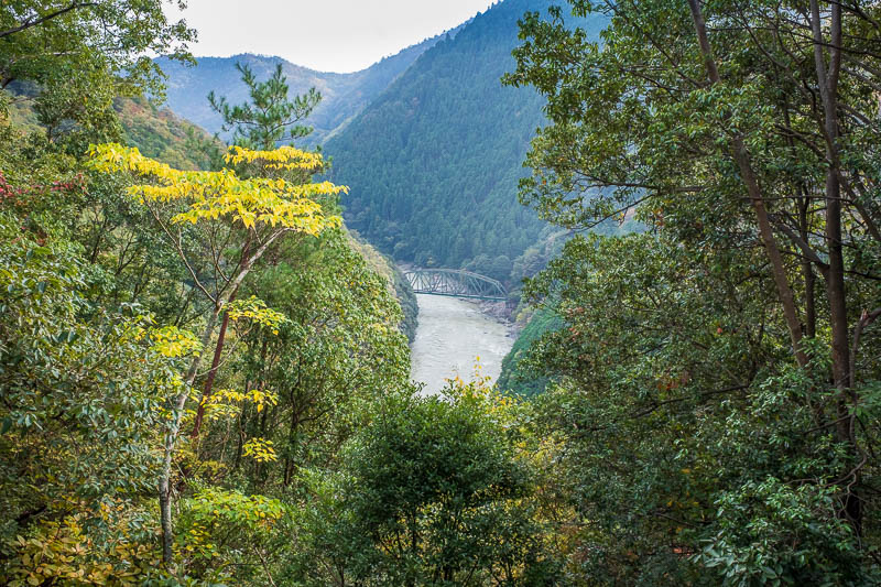
More railway bridge. I missed the train going over by seconds.
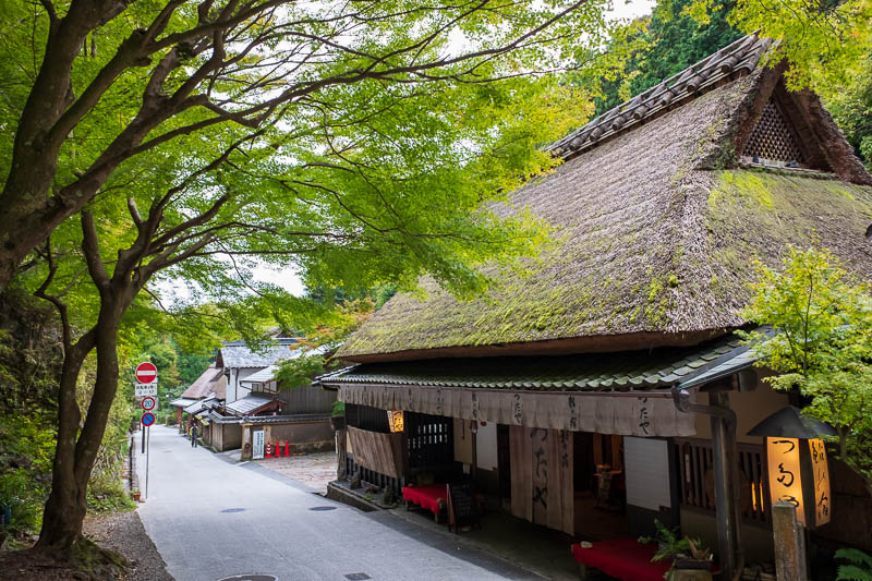
And then I descended along the cycling road through a dark wooded valley into Toriimoto, which I had no idea I was going to, but was very nice, quite a few tourists.
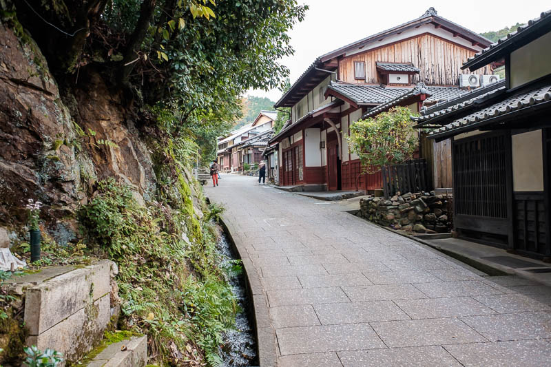
Its a mix of businesses and private houses, I think these people are quite wealthy, I saw nice cars in garages.
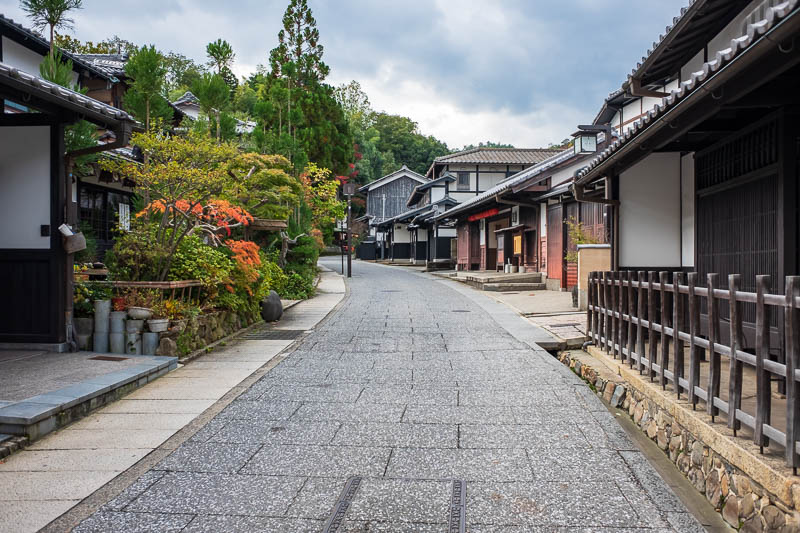
One last one of Toriimoto, there were lots of expensive tiny eating houses. It was now that I realised I had forgotten to eat all day! I wasnt even hungry though.
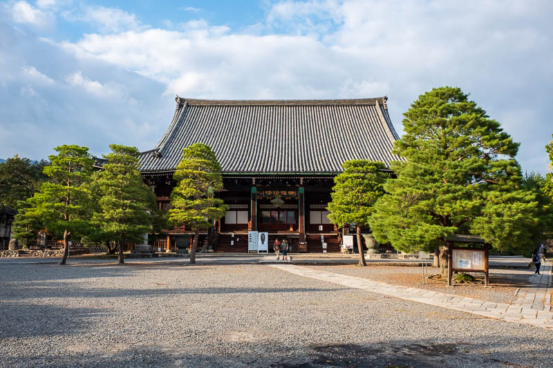
To get back to the station I still had other shrines to go through. This one is Seiryo-Ji and is apparently a temple not a shrine.
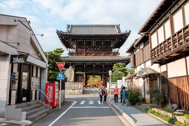
Last photo finally, I enjoy the contrast of the temple gate and the coke machine.
I will re read this later, its probably typo riddled, time to go get dinner.